

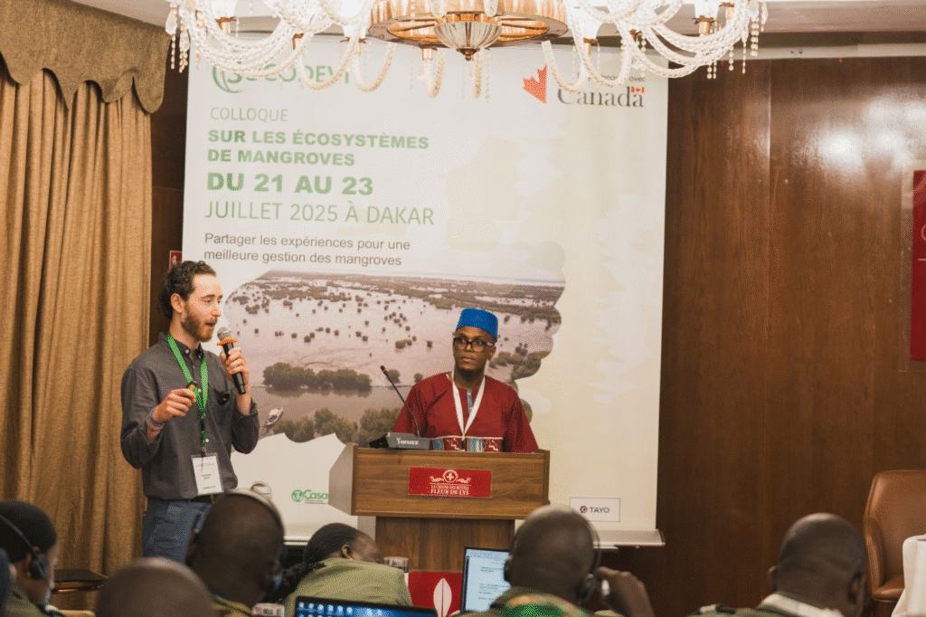
Theme: Mangroves Mapping and Monitoring– Challenges, Innovations, and way forward for Inclusive and Participatory Conservation
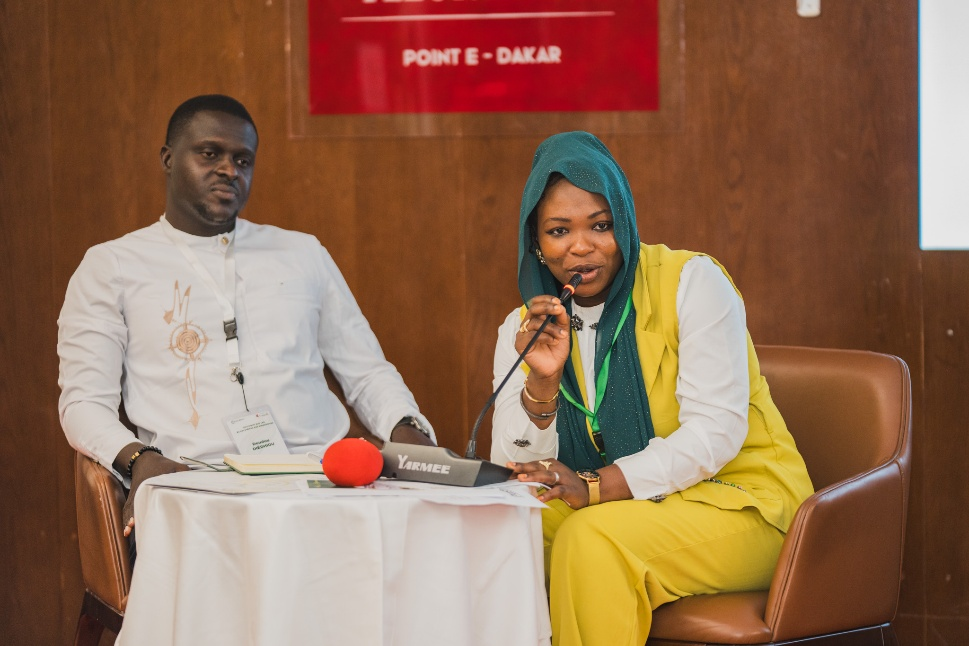
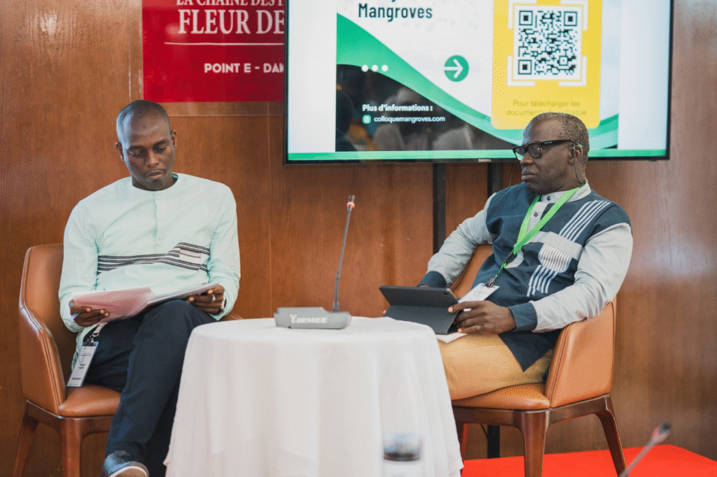
Day 2 of the symposium built on ongoing discussions around mangrove ecosystems, focusing on how both traditional data and emerging geospatial technologies are transforming conservation efforts. As well, photography and visual storytelling as advocacy tools for women has been discussed.
About the use od data, presenters highlighted that while remote sensing has been around for decades, it continues to evolve to meet today’s ecological needs—especially in the protection and restoration of mangroves. Thanks to the variety of sensors and platforms, researchers can now carry out multi-scale analyses and obtain highly detailed information about ecosystems, going beyond the limits of conventional mapping products. Multi-criteria assessments have emerged as a key decision-making tool, allowing not only for the identification of existing mangrove areas, but also for spotting zones with strong potential for ecological restoration. The expansion of big data has further widened access to information, giving conservation actors a more solid foundation for informed, long-term decision-making.
The next presentation underscored the central role of satellite and geospatial technologies in large-scale mangrove monitoring. These tools offer real-time data and early warning alerts, enabling faster and more effective responses to environmental threats. The Global Mangrove Watch platform was introduced as a free, interactive tool that tracks mangrove coverage over time and issues alerts about degradation. Its open accessibility empowers a wide range of users—from scientists and NGOs to local communities—and encourages shared stewardship of coastal ecosystems. With indicators on carbon storage and ecosystem services, the platform also supports climate action by strengthening the evidence base for nature-based solutions. Its intuitive visual tools make it a strategic asset for planning and advocacy, helping to reinforce ecological resilience.
Another key topic was the role of drones and other geospatial innovations in accelerating mangrove restoration. These technologies are making restoration efforts more precise, more cost-effective, and faster than ever before. Multispectral imagery and remote monitoring allow for better planning, more accurate planting, and more efficient post-restoration evaluation. By integrating ecological data into decision-making tools, local strategies can be tailored to specific environmental and social contexts. Drones are also being used as a deterrent against illegal logging. In this way, innovation is becoming a major driver of resilient and inclusive coastal conservation.
The topic of spatial and temporal dynamics for the Kalone Bliss Kassa Community Marine Protected Area in Casamance (Senegal) was also explored. In this region, mangrove conservation relies heavily on community-managed marine protected areas. These efforts are based on a two-phase planning model: a diagnostic stage followed by a co-creation management plan. The active involvement of local communities has proven crucial for long-term success, ensuring that restoration strategies are realistic, gradual, and adapted to local needs. By recognizing the value of mangrove goods and services, these projects also bring direct economic and social benefits to residents, strengthening the connection between environmental stewardship and sustainable development. Ultimately, effective mangrove management contributes not only to environmental resilience but also to improved quality of life in coastal areas.
Participatory mapping was also presented as a powerful tool for sustainable mangrove management. By involving local communities and institutions directly in the mapping process. This approach strengthens collaborative governance and fosters a shared understanding of environmental priorities. It also improves the quality and relevance of spatial data used for planning and monitoring. However, this method isn’t without challenges—it requires careful management of technical, social, and methodological complexities to be truly effective. Discussions throughout the day helped identify best practices and key conditions for ensuring its long-term impact and sustainability.
Another promising tool presented was the GEM, the Google Earth Engine mangrove mapping methodology. It is a simplified, open-access methodology designed to fill the gap in detailed mapping of smaller mangrove areas. GEM is easy to use and tailored to local actors, combining cloud technology with multispectral imagery to deliver fast, high-resolution data. The 2025 release of its mobile version has made it even more accessible for fieldwork, encouraging greater community participation in conservation activities. Accompanying training programs ensure users can interpret the data effectively and integrate it into local environmental action plans.
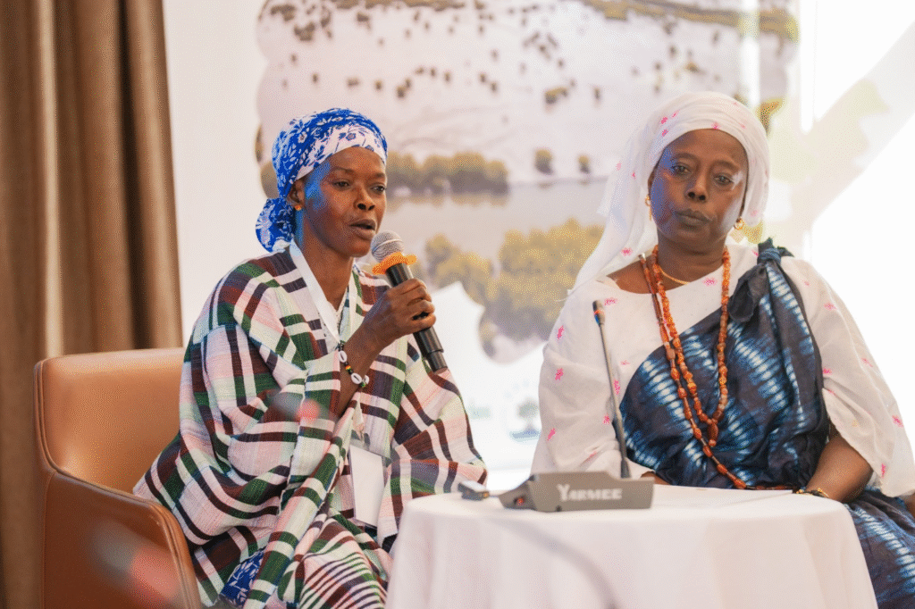
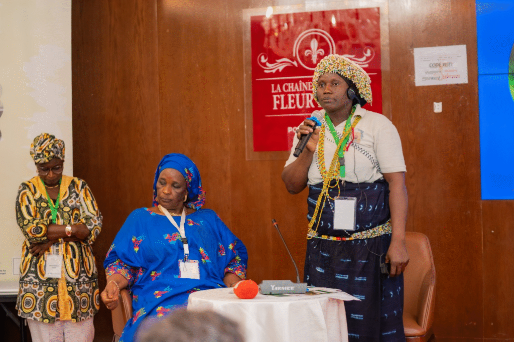
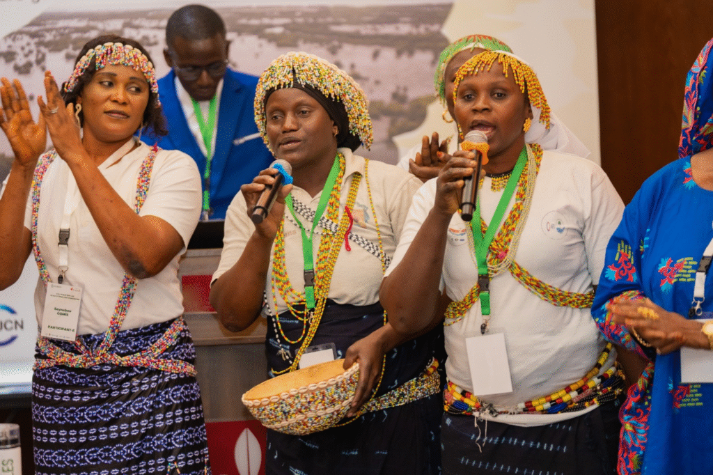
The day wrapped up on a powerful and inspiring note with a session titled: “Photographic Storytelling and the Voices of Women Leaders at the Intersection of Environment, Climate, and Social Justice.” In the framework of women’s leadership programme, International Institute for Sustainable Development delivered a training on photography and visual storytelling to women from Sine-Saloum and Casamance so they can tell their stories through photography and visual storytelling and advocate for more inclusion in decision-making spaces and in natural resource management. With this advocacy tool four women have been chosen to tell inspiring stories on how the activities they are doing within their communities to fight climate change effects.
Leave A Comment